A magnitude 7.8 earthquake struck off the southern Philippine island of Mindanao on Monday morning, minutes before the country’s schoolchildren were due to begin their first day of classes, killing at least 32 people, injuring more than 130 and shoving a tsunami onto nearby coasts. It was the strongest quake to hit the Philippine archipelago this year.
The Philippine Institute of Volcanology and Seismology, known as PHIVOLCS, logged the rupture at 7:37 a.m. local time, its epicenter offshore in the Celebes Sea about 32 kilometers southwest of the coastal town of Maasim in Sarangani province. Most of the dead, authorities said, were killed by collapsing buildings and by landslides shaken loose across the rugged southern coast. The toll was preliminary and still rising hours after the shaking stopped.
A morning that should have been about backpacks
The timing was its own cruelty. Monday was the opening day of the Philippine school year, and the Department of Education had been preparing to welcome roughly 3.2 million students and some 128,000 teachers and personnel back to classrooms across the affected region. Instead, the ground heaved as families were waking, dressing children and heading out the door.
President Ferdinand Marcos Jr. ordered schools in the affected areas closed and directed the national government’s emergency machinery — the Office of Civil Defense and the National Disaster Risk Reduction and Management Council — to mobilize. What had been a logistics operation for the first bell became a search-and-rescue operation before most classes could start.
General Santos bears the brunt
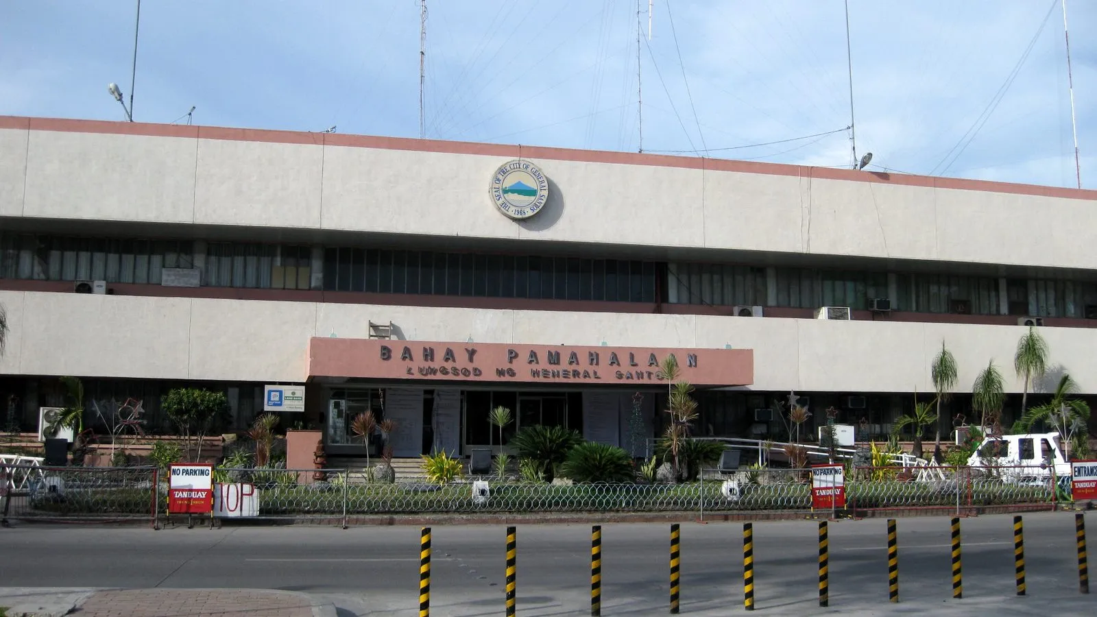
The hardest blow landed on General Santos, a port city of about 722,000 people on Mindanao’s southern coast and the urban anchor of the Soccsksargen region. Residents described being thrown off balance as buildings swayed and facades cracked. A three-story commercial building that housed a Jollibee outlet — the Philippines’ ubiquitous fast-food chain — collapsed, according to accounts relayed by emergency responders.
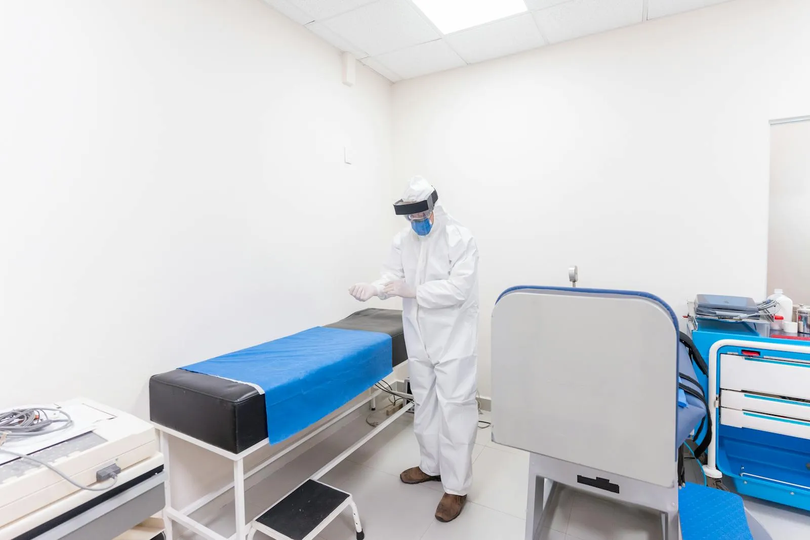
St. Elizabeth Hospital, one of the city’s main medical centers, was badly damaged and had to be evacuated, forcing staff to move patients out of a building meant to be treating the newly injured. Across the city, windows shattered, roofs caved and roads buckled. Photographs and video from the scene showed dazed residents standing in streets strewn with debris, unwilling to go back inside as the aftershocks kept coming.
The injuries, like the deaths, came overwhelmingly from structures: people struck by falling masonry, trapped under collapsed walls or caught in the landslides that the shaking triggered on steep terrain. Verifying a full casualty count in the first hours is always difficult, and officials cautioned that the figures were provisional as reports filtered in from outlying towns where communications were spotty.
The tsunami that mostly stayed offshore
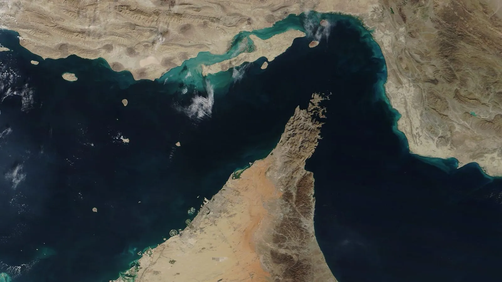
The earthquake’s location and power were enough to trigger tsunami alerts across a wide arc of the western Pacific. PHIVOLCS warned of potentially destructive waves along parts of the Mindanao coast and urged residents in low-lying coastal areas to move to higher ground immediately. The U.S. Embassy in Manila issued its own natural-disaster alert to American citizens, relaying the tsunami warning and the instruction to seek elevation.
The wave, when it came, was smaller than feared. A tsunami of roughly one meter — about three feet — washed onto nearby Philippine shores, and smaller surges were detected farther afield: waves up to about 0.75 meters in North Sulawesi, Indonesia, and lesser disturbances measured as far away as Palau and the southern coast of Japan. The U.S.-run Pacific Tsunami Warning Center said the broader tsunami threat had largely passed roughly five hours after the quake, and the Philippines and Indonesia lifted their warnings, though an advisory lingered for parts of southern Japan.
That the sea did not rise higher is the closest thing to good news in the day’s accounting. A magnitude 7.8 rupture beneath the ocean carries the potential for a far deadlier wave; the relatively modest surge spared coastal communities a second catastrophe layered atop the first.
Why agencies disagreed on the numbers
In the immediate aftermath, the two principal seismological authorities published slightly different readings — a routine feature of early earthquake reporting, not a contradiction. PHIVOLCS placed the quake’s depth at about 33 kilometers; the U.S. Geological Survey put it at roughly 55 kilometers. Both agreed on the magnitude at 7.8 and on the offshore Sarangani location. Depth and magnitude estimates are commonly revised in the hours and days after a large event as more seismic stations report and analysts refine their models.
What was not in dispute was the violence of the aftermath underground. PHIVOLCS recorded more than 200 aftershocks in the hours that followed, at least nine of them strong enough to be felt across Mindanao. The largest registered magnitude 6.7 — a major earthquake in its own right, striking a region already pulling survivors from the rubble.
A nation that lives on the fault lines
The Philippines sits squarely on the Pacific “Ring of Fire,” the horseshoe of fault lines and volcanoes that rims the ocean basin and makes the country one of the most seismically active on Earth. Damaging quakes are a recurring fact of national life, and PHIVOLCS and the disaster agencies run among the more practiced emergency responses in the region. That experience matters: building codes, evacuation drills and a standing civil-defense apparatus are part of why a rupture this large did not produce an even higher toll.
Monday’s quake will test that system across a wide and partly remote area. Sarangani and the surrounding Soccsksargen provinces include mountainous, hard-to-reach communities where landslides can sever the only roads in, and where the true scope of damage may not be clear for days. The full picture, as with most major earthquakes, will sharpen only as crews reach the places the first reports could not.
For now, the consequences are concrete and immediate: a port city with a wrecked hospital, a school year postponed in the middle of its first morning, and a death toll that officials expect to climb as the rubble is cleared. American Courant is following the response across its World coverage and broader international news as the recovery gets underway.
What comes next
The near-term priorities are search and rescue in collapsed structures, restoring care at damaged hospitals, and reaching cut-off communities before the aftershocks bring down already-weakened buildings. Authorities will continue revising the casualty figures, and PHIVOLCS will keep tracking aftershocks that, at magnitudes near 6 and 7, remain dangerous on their own.
The longer reckoning — how many were lost, how much was destroyed, and how a region rebuilds while bracing for the next shock — begins once the ground finally settles. On Monday, in southern Mindanao, it had not yet.
Sources 6 cited · 1 primary
- Natural Disaster Alert: Magnitude 7.8 Earthquake, Tsunami Warning affecting Mindanao
- A 7.8 magnitude quake in the Philippines kills at least 32
- Powerful earthquake hits Philippines, killing at least 15
- Philippines earthquake: Deadly 7.8 magnitude quake hits Mindanao, triggering tsunami watch
- Philippines earthquake leads to landslides, raising death toll to at least 32
- Magnitude 7.8 earthquake jolts Mindanao, tsunami warning raised
American Courant cites its sources and links to primary documents where they exist. How we report →